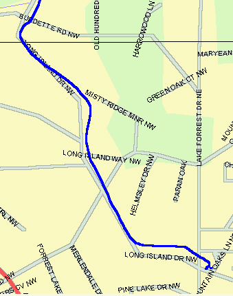
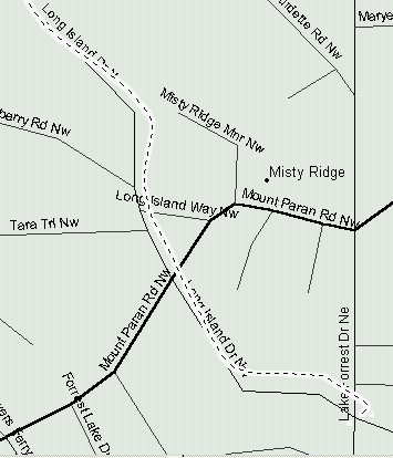
The accuracy of these maps can be inferred from a track made in the Atlanta area when SA was turned off for one day on 20 April 1997. An analysis (HERE) of GPS accuracy on that date indicates the average GPS error was 20 feet.
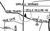
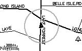
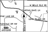
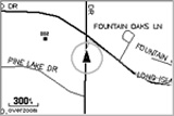
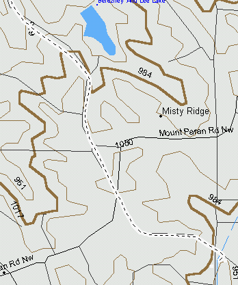
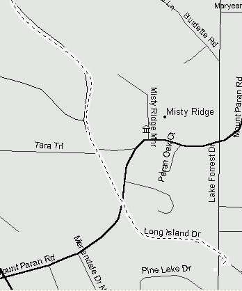
The maps below show a sizable road error visible in the middle and
southern end of the GPS track recorded by a Garmin G-12XL The first
two maps are essentially Tiger-based maps. The map scales are Approx.
750 feet/inch.
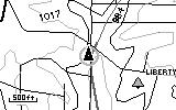
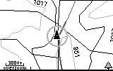
NOTE: You may check the accuracy of
Delorme, Garmin R&R, USA Topo, and Metroguide maps in this same area
yourself by using (G7ToWin)
to upload the complete
track (FILE) to any Garmin receiver.
Then download the track to any of the maps listed above and compare the
track plot on them to the maps.